


C
Charlie Hatchett
Guest
These are very clearly not intrusion necks but large plains that got flooded by lava and which cooled while exposed to the surface. Intrusions don't form such nice flat layers.
I disagree that intrusions don't create "nice flat layers":

Note the sill in the bottom picture. That's what we're seeing and what your calling plains. The surrounding sediment holds the basalt in place while it cools. The exposures represent where the overlying sediment is eroded.
Sills follow the contour of the underlying and overlying strata, making "nice flat layers".
Umm...because only there we can see it without excavating it on our own.
And again, do you seriously assert that geologist cannot distinguish landslide rubble from sedimentary strata?
And where is the mountain whose landslide covered this:
http://volcanoes.usgs.gov/yvo/images/20 ... _large.jpg
Where did all that rock above the basalt come from in merely 4000 years:
http://www.cas.sc.edu/geog/gsgdocs/imag ... inting.jpg
Again, I think your mistaken in not interpreting these structures as intrusions. It's the most obvious explanation.
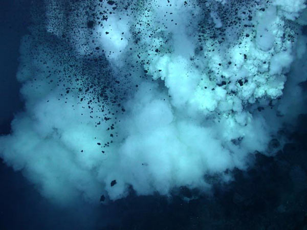
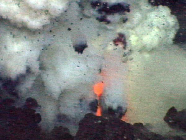
When basaltic lava flows cool and solidify they contract, often developing fractures perpendicular to their surface. Individual columns tend to have a hexagonal (six-sided) cross section. Since columns are always at right angles to the cooling surface, vertical columns are seen in lava flows and sills, horizontal in dikes, and columns typically radiate outwards from the center of pillow lavas. The hexagonal columns may then become exposed when the lava flow is eroded.
http://www.geology.iupui.edu/Research/K ... /index.htm
And in my backyard:
Cross-cutting the Cretaceous sedimentary rocks are
late Cretaceous basalts that formed sills, dikes, laccoliths,
and small volcanoes. The igneous rocks rose along
fractures in the Balcones Fault Zone, and Brackettville
marks their western limit. Outcrops of columnar basalt
are mined and crushed along U.S. Highway 90 in Knippa,
82 km east of Brackettville.
http://www.utexas.edu/tmm/sponsored_sit ... hapter.pdf
I'm not sure why you keep bringing up landside rubble? I'm not understanding you.
The last image seems to be the result of a cooling downhill lava flow - it doesn't bear any resemblance to the curved columns of neck basalt as visible in your first picture.
Higly improbable on the surface (if not impossible), but easily explained by something containing the flow in it's shape (a sill). Lava, especially slow cooling lava, would not be resting on a slope. It would continue to flow downhill.
And all that erosion happened in merely 4000 years?
Easily.
Necks are bad examples because they do not require exposure to air on a large surface, but there are plenty of plains:
I don't understand why you keep bringing up the requirement to be exposed to air? Do you have a reference? Sills, dikes, and laccoliths obviously don't require direct exposure to the atmosphere.
And how about the welded tuffs anyway?
How about we hash out the columnar basalt thing first?


")