AirDancer
Member
- Feb 14, 2012
- 18,907
- 3,819
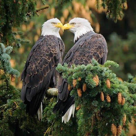
The sky is absolutely breath taking in this photo. Incredible!
Follow along with the video below to see how to install our site as a web app on your home screen.
Note: This feature may not be available in some browsers.


Join Hidden in Him and For His Glory for discussions on how
https://christianforums.net/threads/become-a-vessel-of-honor-part-2.112306/
it was clear. I did try to crop out the car. but I couldn't due to some problem with photoshop. so I just left it. I may post it again with the car in the image. I know an equally old or close to in age cement plant that is closed.its on the city hall route, last area to read. I will take a few at the gate. outside the area and inside. you will see why I love that. its about 80 years old. I will also get under the loading area and shoot. this isn't used.First photo with the fountains: When I saw this one, I sat perfectly still & uttered: "Wow!" I love this photo!
Second photo of the Cemex: The clarity of this photo makes one think one is standing there in person, viewing the site on a clear day. Amazing composition!
now the bridge. first the barber bridge ones.View attachment 6826 View attachment 6827
now the few of the alma lee loy bridge to the south of the barber bridge and the older of the two.View attachment 6829 View attachment 6830 View attachment 6830
old home that is now a business. various angles from the bridge and mcwilliam parkView attachment 6835 View attachment 6836 View attachment 6837
spoil islands. that is what was dredged from the river to allow for boat traffic. remember the narrows? its mentioned in the library pdf. that is why we had the bridge made and the same time also had the army dredge the river. before you could at some points wade the river nearly all the way across.The little islands are just the right touch!
the riverside cafeView attachment 6840 View attachment 6841
taken from the bridge . of note the small doc with the edifice predates the newer station and barber bridge . fil worked her as this was his first station. all that is left from that time is that edificeView attachment 6834
so did the lobster shanty. its doc is gone. captian hirams and a few others still do that.The riverside cafe reminds me of a place in the Missouri Ozarks called the Ozarks Bar-B-Q . One could arrive either by boat or by car .... we walked because stayed not all that far away. It had the biggest basket of onion rings ....and those onion rings were delicious!
I don't think that one is all that old. it probably doesn't have the mold issue. its not the oldest anymore. I think the oldest is station 3 near where I took that sunrise pic, then one, the one shown is number 2.I wish the stations around here looked like that!
View attachment 6847 View attachment 6848 note the island, some are camp sites. one of these I have taken(perhaps the one shown) has the foundation for the earliest home in the area.
taken from the bridge facing west to where the older barber bridge was(the draw bridge , not the wooden one!)View attachment 6849
that is a home. 500 bay drive. all that I have posted in imagery I have literal done routes save one or two. in mentioning. I will try to hit up grand harbor, more on the marina.First picture: This photo should be included in a book! The flag is awe-inspiring!
Second photo: Is this a private single-family home? Or is it a business? Whichever, it has a great view!
no. no crabs.First photo: Are those red crabs in the water?
Second photo: The camping island looks serene. And you did a great job capturing a sky that looks to be ready to 'talk'.
manatee zone and where the canal meets the river. remember the vero man? the main relief canal? that image is the mouth of that.It's good that "Slow Speed" signs are posted........... the water looks fairly shallow. (Yes, I had to look to see just what was posted ... wondered how many of the signs would be the same!)
I was in a bit of rush. rain never happened but I did cut short my photographing. I wanted to hit the north looking from the bridge.First photo: Are those red crabs in the water?
Second photo: The camping island looks serene. And you did a great job capturing a sky that looks to be ready to 'talk'.
manatee zone and where the canal meets the river. remember the vero man? the main relief canal? that image is the mouth of that.
well they stopped digging there. I can take an image across from it from aviation blvd. I will be in that area tomorrow.Wow! Talk about bringing more into mental view as to where the canal and Vero Man is located. Thanks!
that is a home. 500 bay drive. all that I have posted in imagery I have literal done routes save one or two. in mentioning. I will try to hit up grand harbor, more on the marina.
ah veteran's island has that flag already in a book per se.
no. no crabs.
http://www.covb.org/index.asp?Type=B_BASIC&SEC={48160AD9-8F59-4172-A3BF-844C665D5AFD}View attachment 6863